Improve strategic planning, operational efficiency, and decision-making in aerospace and defense. Learn how to overcome challenges like inaccurate data and time-consuming processes with this innovative technology.
Introduction:
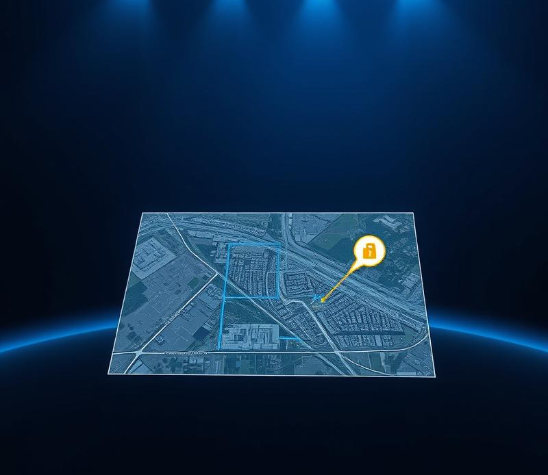
Ever felt lost trying to decipher a satellite image? The details are there, but pulling out the crucial information can feel like searching for a needle in a haystack. That’s where geospatial image annotation comes in. It’s the key to unlocking the power of these images, transforming them from confusing pixels into actionable insights. From defense operations to urban planning, this technology is revolutionizing how we understand and interact with our world.
Accurate Mapping and Surveillance: A Necessity, Not a Luxury
In the demanding world of aerospace and defense, the need for accurate and up-to-date geospatial data is paramount. Think of it like this – a pilot navigating through challenging terrain relies heavily on accurate maps to avoid danger and reach their destination safely. Similarly, defense strategists depend on precise geospatial intelligence to make informed decisions that can impact national security. This is where geospatial image annotation comes into play.
Geospatial image annotation is the process of adding tags or labels to features in aerial or satellite imagery. This process transforms raw data into actionable intelligence. By identifying and classifying objects like buildings, roads, vehicles, and vegetation, we equip aerospace and defense professionals with a comprehensive understanding of the operational environment.
Geospatial Image Annotation: Unlocking Efficiency and Accuracy
The good news is that there’s a solution to these challenges – a way to maintain the accuracy of geospatial data without sacrificing speed or efficiency. The answer lies in harnessing the power of machine learning.
Machine learning algorithms, trained on vast datasets of annotated images, can be deployed to automate the process of object detection and classification in geospatial data. Think of it as giving your analysts a powerful set of tools that can analyze images with speed and precision far exceeding human capabilities.
Here’s how machine learning is revolutionizing geospatial image annotation:
- Automated Object Detection: Machine learning algorithms can be trained to automatically identify and classify objects within geospatial imagery, significantly reducing the manual effort required.
- Improved Accuracy: By removing the element of human error, machine learning-powered annotation ensures a higher level of accuracy, leading to more reliable data analysis.
- Increased Efficiency: Automation speeds up the annotation process, allowing analysts to focus on higher-level tasks like interpretation and strategic decision-making.