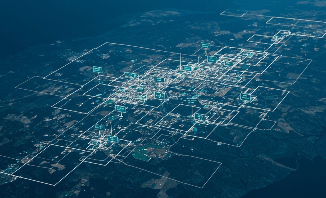
Harness the power of artificial intelligence to revolutionize the way we understand, manage, and respond to changes on our planet. Aerial annotation, powered by cutting-edge AI techniques, is reshaping geospatial analytics by delivering precise, actionable insights across a wide range of industries and applications.
📍 Precision Mapping for Enhanced Land Use Analysis:
Detailed annotation of aerial imagery enables accurate classification of land cover and land use patterns. From agriculture and urban planning to zoning and resource management, this approach ensures reliable geospatial mapping that supports data-driven decision-making. High-resolution segmentation and labeling of regions help in understanding spatial relationships and developmental trends with exceptional clarity.
📍 Infrastructure Monitoring and Urban Development Tracking:
Stay ahead of infrastructure dynamics by continuously monitoring the state and evolution of roads, bridges, buildings, and utility networks. Automated aerial annotation allows for the identification of construction activities, wear and tear, unauthorized development, and structural changes over time. This continuous surveillance supports smart city initiatives, sustainable development, and urban expansion planning.
📍 Accelerated Disaster Response and Risk Assessment:
Rapid annotation of aerial images captured post-disaster—such as floods, wildfires, earthquakes, or hurricanes—enables authorities to assess damage, prioritize relief operations, and plan recovery strategies efficiently. By comparing before-and-after imagery, AI-driven annotation helps identify impacted zones, blocked roads, collapsed structures, and displaced communities with unmatched speed and accuracy.
📍 Environmental Monitoring and Ecosystem Management:
Track and analyze environmental changes including deforestation, desertification, shoreline erosion, and the shrinking or expansion of water bodies. Aerial annotation supports conservation efforts by mapping habitats, detecting illegal land use, and observing biodiversity impacts. Urban sprawl and its encroachment into green spaces can also be systematically analyzed, aiding in sustainable urban planning and policy formulation.
📍 Agricultural Optimization and Land Health Assessment:
Identify crop types, assess vegetation health, and monitor irrigation patterns with annotated aerial images. This empowers farmers, agronomists, and policymakers to optimize yield, manage resources efficiently, and detect issues like pest infestations or nutrient deficiencies early. AI-powered annotation enhances precision farming by integrating aerial data with soil and weather analysis.
📍 Mining, Energy, and Utility Sector Applications:
In sectors like mining and energy, annotated aerial imagery provides a comprehensive view of operational sites, excavation progress, pipeline integrity, and asset management. It aids in safety inspections, environmental compliance monitoring, and infrastructure planning, offering a high-level situational overview without ground-level disruptions.
📍 Military and Defense Surveillance:
In defense and intelligence operations, aerial annotation supports surveillance, target identification, terrain analysis, and movement tracking. With real-time updates and detailed mapping, it enhances situational awareness and strategic planning while minimizing risks.
Unlock the Full Potential of Your Geospatial Data:
AI-driven aerial annotation is not just an advancement—it’s a transformative force across sectors. By extracting meaningful insights from complex aerial imagery, organizations can make faster, smarter, and more sustainable decisions that impact everything from local planning to global change.