Annotation World is at the forefront of the geospatial AI revolution, providing the crucial foundation for intelligent systems to understand and interact with our world. The company specializes in precise data labeling, transforming raw geospatial data into actionable insights that power advanced AI models. By accurately annotating satellite imagery and aerial photos, Annotation World enables AI to “see” and interpret the world, identifying critical features such as roads, buildings, and water bodies with unparalleled accuracy. This detailed annotation process ensures that AI models are trained on the most reliable and comprehensive data, leading to superior performance and more informed decision-making.
Enhancing Geospatial Analysis:
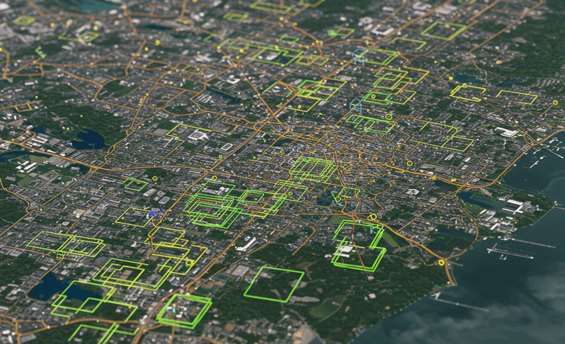
Annotation World’s data labeling services significantly improve geospatial analysis, providing the building blocks for a more detailed understanding of our planet. For example, precise identification of roads and transportation networks enables AI models to optimize traffic flow, reduce congestion, and improve urban mobility. Another application is the detailed mapping of building footprints and land use, empowering urban planners to analyze growth patterns, assess infrastructure needs, and make data-driven decisions about resource allocation. These capabilities allow for smarter city planning and more efficient resource management.
Supporting Sustainable Urban Planning:
Annotation World plays a pivotal role in supporting sustainable urban planning initiatives. By providing highly accurate data on land use, infrastructure, and environmental factors, the company empowers urban planners to design more sustainable and resilient cities. For instance, the precise identification of green spaces, parks, and vegetation cover allows planners to assess the impact of urban development on the environment, optimize green infrastructure, and promote biodiversity. This data-driven approach to urban planning leads to more livable, environmentally friendly, and sustainable cities.
Environmental Monitoring and Disaster Response:
Annotation World’s services are crucial for environmental monitoring and disaster response efforts.
1. Tracking Deforestation: By accurately labeling and monitoring changes in forest cover, the company provides critical data for tracking deforestation rates and assessing the impact of deforestation on the environment. This data can be used to identify areas at risk, monitor conservation efforts, and inform sustainable forestry practices.
2. Wildlife Conservation: Annotation World’s data labeling capabilities can be used to identify and monitor wildlife habitats, assisting in conservation efforts. For example, the company could label and map specific types of vegetation, which provides habitats for various species and contributes to the overall health of the ecosystem.
3. Disaster Recovery: In the wake of natural disasters, Annotation World’s rapid data annotation services are essential for assessing damage and coordinating relief efforts. The company can quickly analyze satellite imagery to identify damaged buildings, infrastructure, and affected areas, providing crucial information for emergency responders and recovery teams. For example, after a hurricane, Annotation World’s annotated data helps authorities assess the extent of damage, prioritize resource allocation, and accelerate the recovery process.