Annotation World empowers geospatial AI by providing precise and high-quality data labeling services. The company transforms raw geospatial data, such as satellite imagery and aerial photos, into actionable insights for AI models. By accurately annotating complex datasets, Annotation World enables the development of sophisticated AI applications across various sectors, including urban planning, environmental monitoring, and disaster response. The company’s mission is to provide top-notch data annotation services, empowering businesses to build accurate AI and ML models, and it offers a cost-effective and customized approach to data annotation.
Annotation World’s services are built on the foundation of meticulous data labeling, which includes several key annotation types:
1. Building Footprint and Classification: Precise delineation of building footprints, coupled with detailed classification based on building type (residential, commercial, industrial, etc.), size, and architectural style. This data can be used for urban planning, property valuation, and disaster assessment.
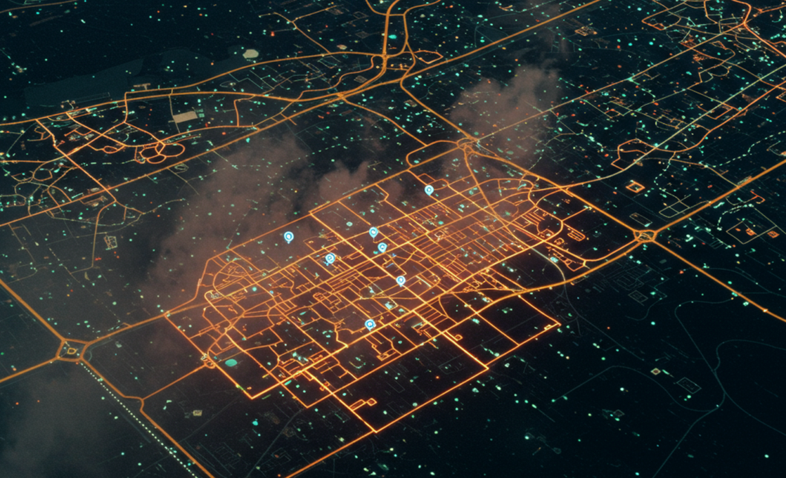
2. Road Network Analysis: Detailed annotation of road networks, including road classification (highway, arterial, residential), lane markings, and traffic signs. This facilitates improved traffic flow analysis, autonomous vehicle development, and smart city initiatives.
3. Water Body Analysis: Accurate identification and delineation of water bodies (rivers, lakes, oceans, etc.), including their characteristics such as depth, vegetation, and water quality. This information is critical for environmental monitoring, flood prediction, and resource management.
4. Vegetation Mapping and Classification: Detailed classification of vegetation types (forests, grasslands, agricultural areas) and their health, which is essential for environmental sustainability, wildlife habitat analysis, and agriculture monitoring.
5. Object Detection and Tracking: Identification and tracking of specific objects, such as vehicles, infrastructure, or other features, within geospatial data. This provides valuable data for various applications, including security, infrastructure assessment, and asset management.