


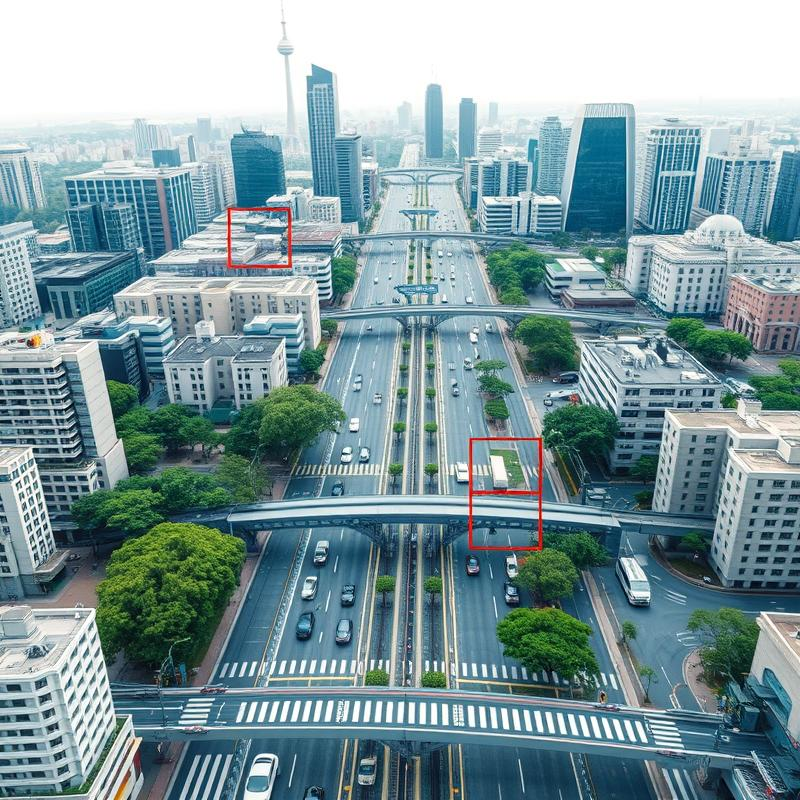
Use Case 1: Traffic Congestion Reduction
One of the most impactful applications of aerial image annotation is in traffic congestion reduction. By analyzing annotated aerial images, traffic management systems can gain valuable insights into traffic flow dynamics. For example, by identifying areas where vehicles frequently slow down or come to a standstill, authorities can pinpoint bottlenecks and congestion hotspots. Armed with this information, traffic managers can implement targeted solutions to alleviate congestion.
One approach is to optimize traffic signal control. By adjusting signal timing based on real-time traffic patterns, authorities can ensure a smoother flow of vehicles through intersections. Another strategy is to implement dynamic lane management, where lanes are opened or closed based on traffic volume to optimize road space utilization.
Use Case 2: Vehicle Detection and Tracking
Aerial image annotation plays a crucial role in vehicle detection and tracking, which is essential for various traffic management applications. By accurately detecting and tracking individual vehicles, authorities can gain insights into vehicle behavior and traffic flow characteristics. This information is valuable for optimizing traffic flow and improving road safety.
Accurate vehicle detection is crucial for several intelligent transportation systems (ITS). Vehicular detection from drone images complements on-road vehicular detection and is advantageous for driver assistance models 8. Moreover, vehicle detection is the initial step in several traffic surveillance tasks. There was an increasing trend to use CNNs with the current hype of DL and AI, CNNs for extracting data in image and video streams 9. However, witnessed as the potential method for semantic segmentation of images, classification, and detection of aerial images are various peculiarities that vary in the traditional kinds of images 10.
For instance, by analyzing vehicle speeds and trajectories, traffic management systems can identify areas where speeding or reckless driving is prevalent. This information enables targeted enforcement efforts to discourage dangerous driving practices and improve road safety. Furthermore, vehicle tracking data can be used to study traffic patterns and identify areas where road design improvements or traffic flow adjustments are needed.
Use Case 3: Road Infrastructure Planning and Maintenance
Aerial image annotation also offers significant benefits for road infrastructure planning and maintenance. By providing a detailed view of road conditions, annotated aerial images help identify road defects, assess infrastructure health, and plan maintenance activities more effectively. For instance, image annotation techniques can be used to detect cracks, potholes, and other road surface defects that may pose safety hazards or require repair.
This information allows road maintenance crews to prioritize repairs and allocate resources more efficiently. Additionally, aerial image annotation can be used to monitor the progress of road construction projects, ensuring that they adhere to timelines and quality standards. By leveraging the power of aerial image annotation, cities can optimize their traffic management strategies, making transportation safer, more efficient, and more sustainable for everyone.